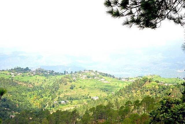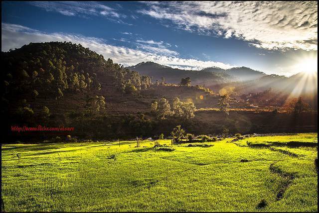
About Majkhali
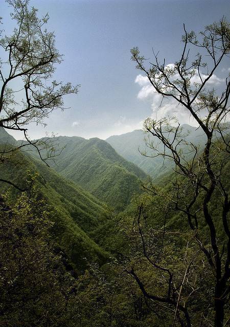
Majkhali is a small town located about 13 Kms from Ranikhet quite famous as a perfect spot to view the great Himalayas specially the Mount Trishul. Majkhali is a great destination if you looking to have a nice calm time in beautiful valleys with comfortable climate. Army Golf Course is just 6 KMs from here.
Freedom to make your own trip!
What you want, when you want and how you want.
Places to Visit near Majkhali

Upat Kalika Golf Course, Uttarakhand
6.4 km from Majkhali - See map
Upat and Kalika are two small towns about 5 KMs apart not far from Ranikhet. Upat is where the famous Army Golf Course is located and it is...
Read more
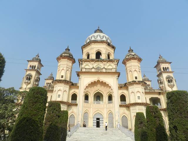
Army Museum, Ranikhet, Uttarakhand
13 km from Majkhali - See map
The Army Museum maintained by the Kumaon and Naga Regiment of the Indian Army and has on display proofs of valor of the two Regiments right from...
Read more
Jhula Devi Temple, Uttarakhand
17.1 km from Majkhali - See map
Jhula Devi Temple is located at a walking distance from the Ranikhet town, the trek up to Jhula devi temple near Chaubattia ridge is a soothing...
Read more
Rama Mandir, Uttarakhand
17.2 km from Majkhali - See map
Rama Mandir perched on a hilltop with a flight of stairs leading to it. The temple is devoted to Lord Rama and interestingly has a monastery where...
Read more
Chaubattia Ridge, Uttarakhand
18.7 km from Majkhali - See map
The Chaubattia Ridge is the higher of the two ridges that flank Rishikesh. The cantonment is spread is the Chaubattia ridge which is famous for...
Read more
Bhalu Dam, Uttarakhand
20.2 km from Majkhali - See map
Bhalu dam is a reservoir built by the British Army officers for water storage purpose. Close to Chaubattia(3km approx.) the trek to the reservoir...
Read more
Leti, Uttarakhand
23.9 km from Majkhali - See map
Leti is located 125Km from Almora in Himachal Pradesh and has been recently attracting tourists to explore the unexplored. Located at an altitude...
Read more
Rudradhari Falls & Caves, Uttarakhand
30.7 km from Majkhali - See map
Rudradhari falls and caves situated amidst a breathtaking panoramic view of waterlogged terraced paddy fields and thick pine woods, the falls and...
Read more
Nanda Devi Temple, Uttarakhand
33 km from Majkhali - See map
Nanda Devi Temple is situated in Almora itself. It is in the antechamber of a Shiva temple in a bazaar above the mall. Nanda Devi was the goddess...
Read more
Bright End Corner, Uttarakhand
35.5 km from Majkhali - See map
There is some debate as to whether this is ‘Bright End Corner’ or ‘Brighton’ corner. Brighton is a town in England where counterculture is...
Read more
Simtola, Uttarakhand
39.4 km from Majkhali - See map
Those pining for peace can head to Simtola for the day. It is three kilometers from Almora. There are an abundance of pine and fir trees, and a...
Read more
Chitai Golu Devta, Uttarakhand
39.5 km from Majkhali - See map
Also just eight kilometers from Almora , this temple has hundreds of bells hanging at its entrance. Pilgrims and worshippers at the temple hang...
Read more